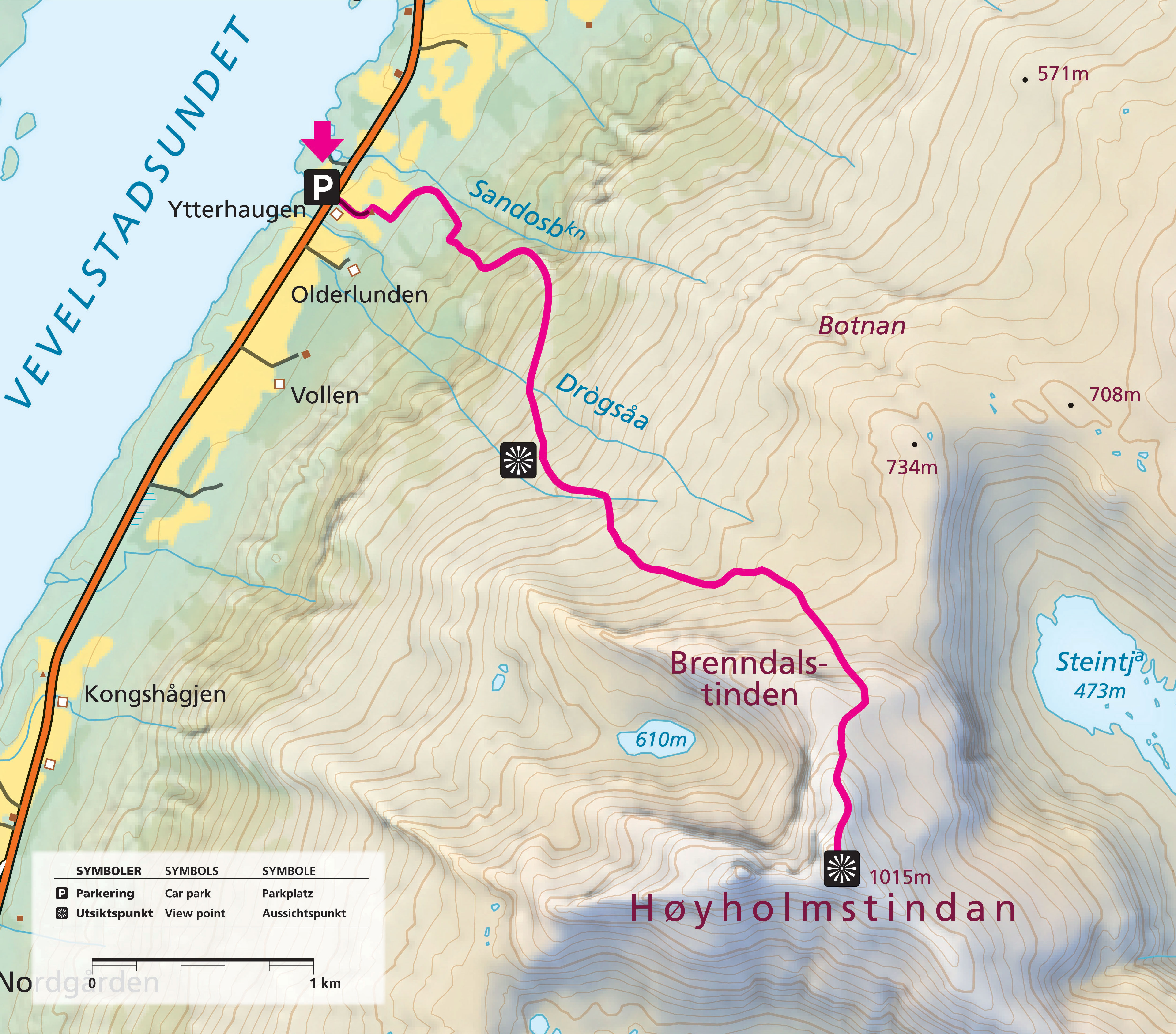
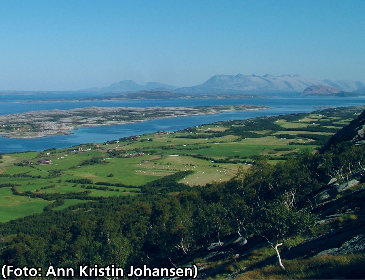
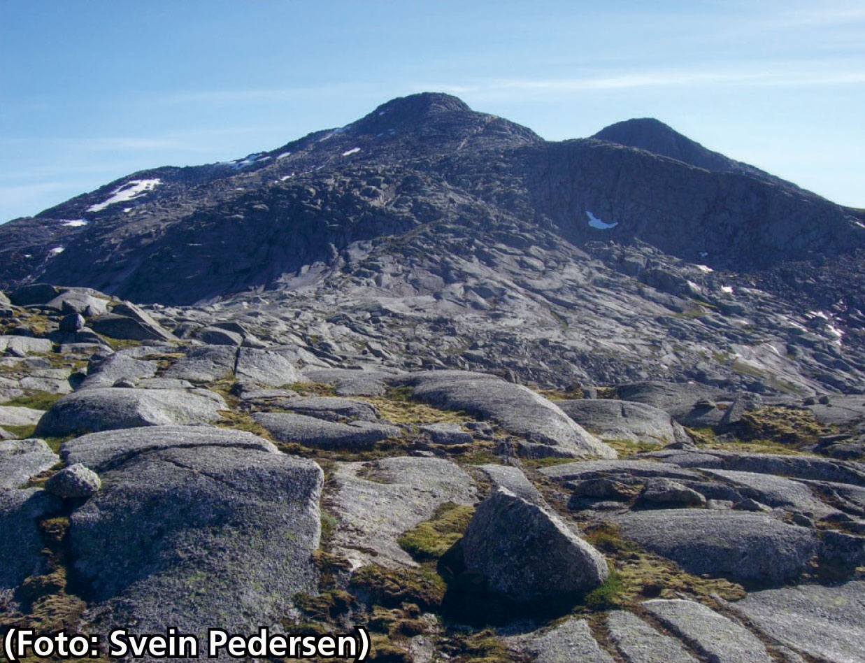
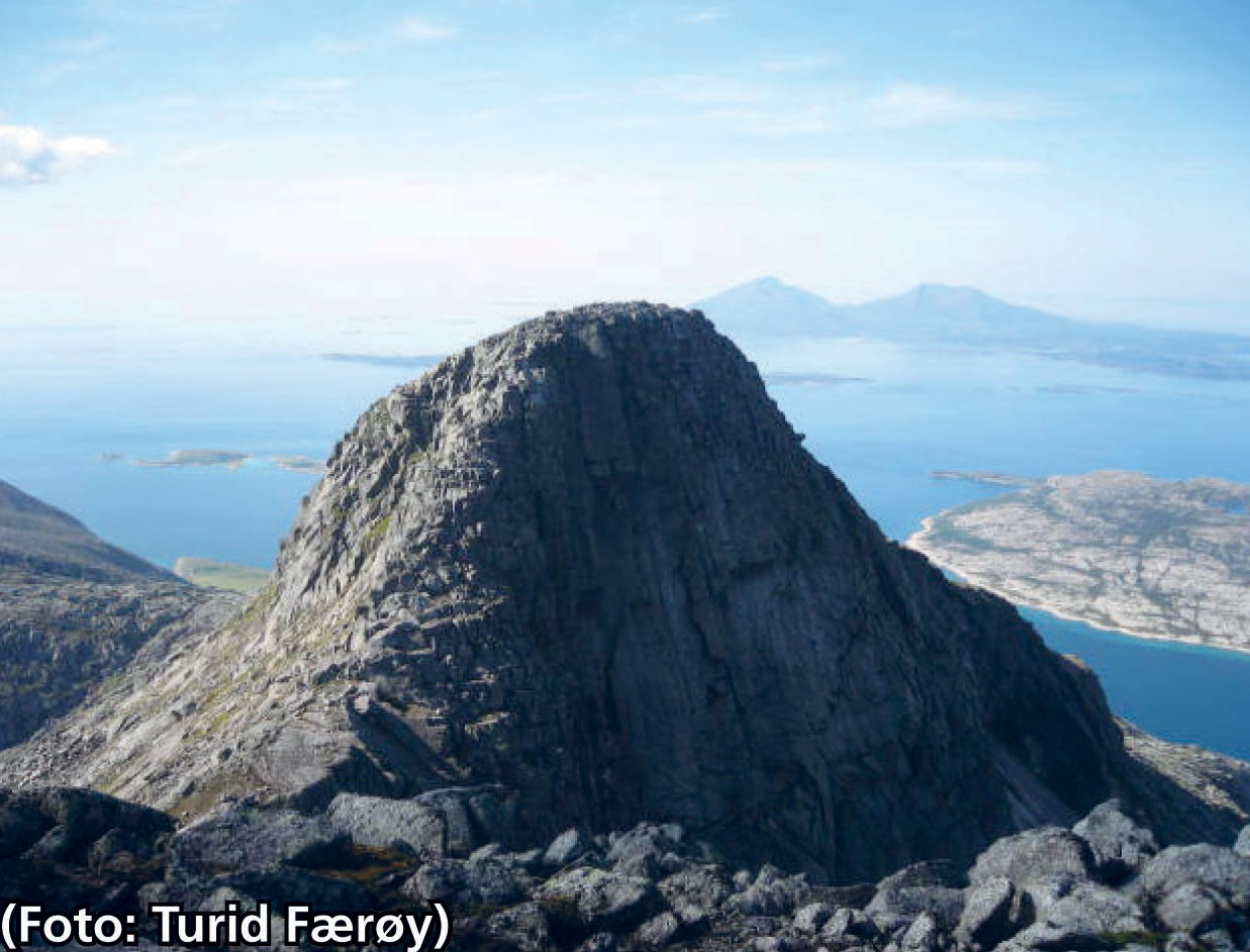

The gravel road to the left of the barn at Ytterhaugen leads you past the outfield fences and towards the mountains. A trail marked with red “Y”s and cairns then climbs steeply through the birch forest. Above the tree-line we continue southeast, across several creeks, then easterly through easy terrain. The final stretch involves a bit of scrambling and you may feel rather exposed. Hikers who are truly zealous and intrepid may opt to continue from the first peak (1015m) to the next one. This hike demands experience and good hiking boots.